Surveying Instruments Assist Frontline Emergency Rescue and Disaster Relief

Aerial and underwater collaborative operations provide accurate and reliable data support for emergency rescue missions
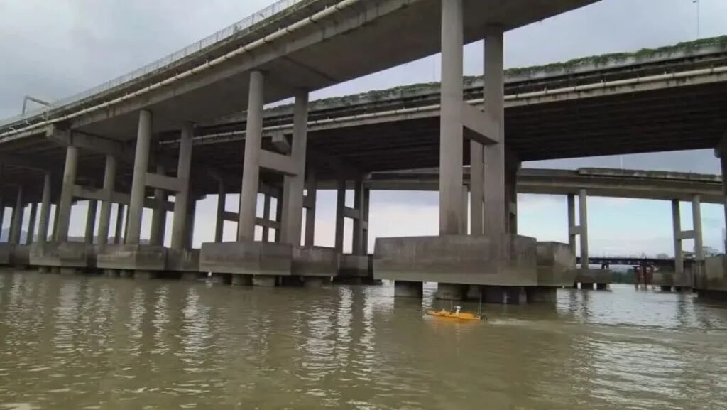
A “physical examination” for bridges

Compared with the traditional manual ship equipped with multi-beam equipment to scan bridge piers, this solution has the advantages of high integration, lightness and compactness, safety and unmanned operation, and low operating cost.
What role does multi-beam survey technology play in the safety risk monitoring and management of bridges and flood walls?

Compared with single-beam systems, the data collected by multi-beam measurement systems are more detailed and intuitive. This technology will be increasingly used in future underwater terrain surveys.
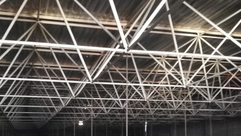
The Application of 3D Laser Scanning in Steel Structure Deformation

This study uses the Leica 3D RTC 360 laser scanner to analyze the deformation of the steel structure in the factory, and employs point cloud technology for accurate distortion assessment.
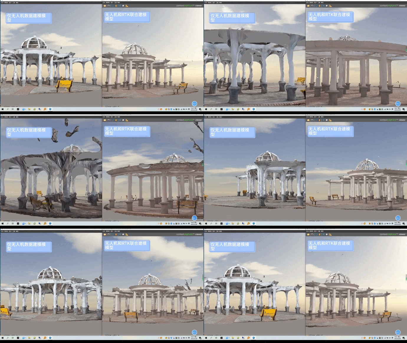
Video measurement RTK, doubling the efficiency of repairing real scene 3D models.

It explains how video measurement RTK achieves fine-grained 3D modeling of the internal and external structures of the pavilion
